What’s a Hardiness Zone—and Why It Matters in the North
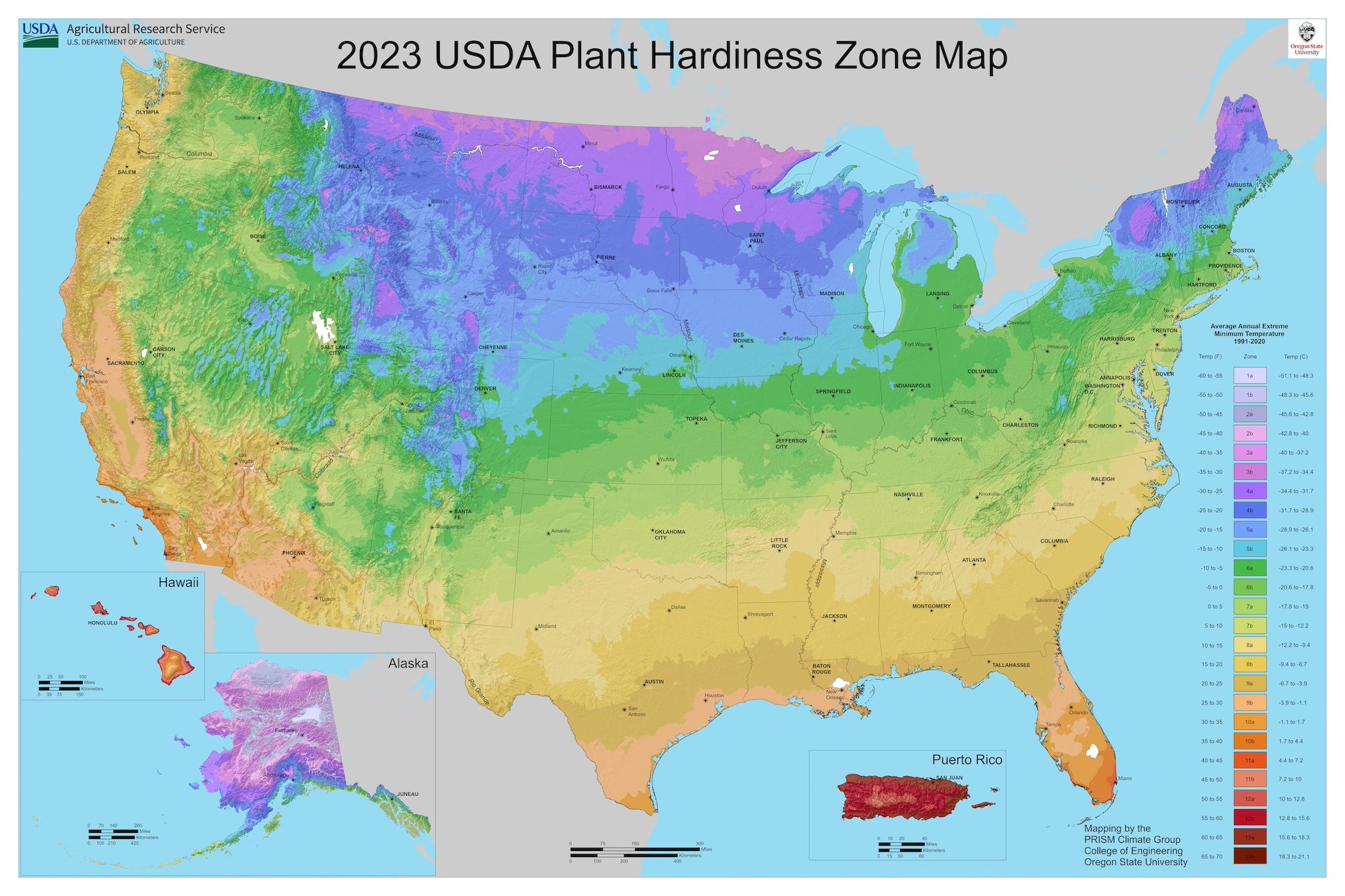
The USDA Hardiness Zone Map shows which plants can survive winter in your area, based on average minimum temperatures.
At Taiga, we zero in on Zones 3 and 4—because if a plant can’t handle -30°F, it won’t make it here.
Whether you’re growing in clay, snow, or hope—knowing your zone helps you pick plants that will thrive, not just survive.

Here’s What That Really Means
Every 30 years, the USDA updates its map to show how cold it gets in winter—on average. The lower your zone number, the colder your winters.
Zones are split into 10°F and then into 5°F chunks. For example:
Zone 3 is -30° to -40°F
- Zone 3a: -35° to -40° F
- Zone 3b: -30° to -35°F
Zone 4 is -20° to -30°F
- Zone 4a: -25° to -30°F
- Zone 4b: -20° to -25°F
These are survival thresholds—not ideal conditions. So if you’re gardening in these zones, you need seeds bred for cold starts, short seasons, and quick maturity.
This is where Taiga comes in.

Why Knowing Your Zone Sets You Up for Success
Understanding your zone isn’t just trivia—it’s strategy. It helps you:
- Choose plants that actually survive your winters (no zone 7 wish-casting here).
- Time your planting, pruning, and transplanting to the rhythm of your season.
- Plan your garden around real growing windows—not idealized ones.
- Group crops by temperature needs for smarter layouts.
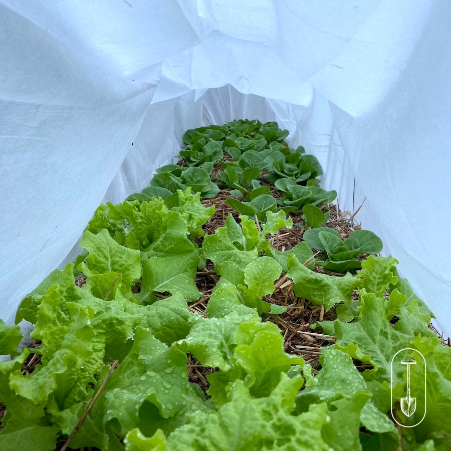
- Prepare for shoulder-season survival with row covers, mulch, and savvy timing.
- Cut down on crop loss and heartbreak by starting with the right seed in the first place.
When you’re growing in Zone 3 or 4, this is your guide. Plant with intention. Grow with confidence.

What the Map Doesn’t Tell You
Hardiness zones are useful—but not the whole picture. They won’t tell you:
- How long your winter will drag on (April? May? Depends on the mood).
- When the first freak snowstorm will hit.
- How cold it might get—only what it usually does.
- How hot or humid your summer will be.
- What your soil’s like, or what your plants need to thrive in it.
- What quirks your garden’s microclimate might throw your way.
Your yard might be its own little climate. Shade, elevation, pavement, windbreaks—these all create “frost pockets” or “heat traps.”
That’s why more and more gardeners are learning to go beyond the map and observe what’s happening right in their own space.
Zone maps help you start smart. Observation helps you finish strong.
Seed Collections Built for Zones 3 & 4
If your winters bite and your growing season blinks, you’re in the right place.
We specialize in seeds that thrive and produce—curated, tested, and ready for short seasons.
From Montana to Maine, from the Dakotas to the Adirondacks, these collections are tailored for growers like you.
(Built for resilience. Backed by experience.)
Inspired to Grow?
Understanding your hardiness zone is step one in growing with confidence—no matter your latitude, last frost, or the shape of your backyard.
Whether you’re growing a little or a lot, gardening is a meaningful act—one that builds skills, fills your plate, and connects you to something deeper.


